
 So, we exited US I-17 and headed east on... what was the name of that road? ... Bloody Basin Road. Hmmmm. Bloody Basin Road isn't paved, but it doesn't look so bad. It's nice and wide and seems well maintained. Should be a pleasant little drive through the country side.
  Six miles into our scenic route, the road's a bit rough,
 but the scenery is beautiful. Is that our road way out there? Yep. This is so peaceful, a bit bumpy, but peaceful.
 Well, looky there... a ranch ... way out here. And is that water just this side of the buildings?
  Oooops, guess it is water. We love water.
  Wonder if this is the Aqua Fria? So pretty. Lovin' this ride. Clicking this Kodak like crazy.
 Not a lot of grass up here, but a very green patch.
  Those national park people think of everything. Were we ever surprised to find this very conveniently situated right there beside the trail, very clean and with T.P., even.
 By now we are way up on top of the mountain range, but we're not alone. There's another ranch. I can not even imagine what it would be like to live up here so far from other people and Target.
 I'm fascinated with the road in front of us, behind us, to the east, to the west, up, down, around and around, like a ribbon. Wish it had been as smooth as a ribbon.
  Where IS my horse?
 Horseback, riding through this beautiful post card... what a dream.
  Rocks stacked oddly on top of each other is a mystery to me. How did they get that way and how do they stay that way?
  We did meet two other vehicles and 3 dirt bikes on the more than 50 miles we traveled, so I spent a lot of time watching the road in the distance for dust or
 a glimmer of another vehicle, just in case we should meet someone on one of the many curves ahead of us.
  The road here looks smooth, but it's not. We left smooth on Interstate 17.
  Dear Lord, please don't let us meet anyone on this road, unless it's a bike.
 These rocks are right beside me, no zoom here.
 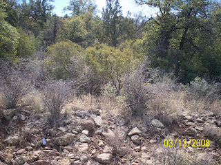 These green trees means there's water down there... a river. It was on Don's side of the truck, so I never got a good picture of it... it was too far down.
 We had to take the road to the right to Carefree, 38 miles away. More of the same rough roads and rock washes, but so awesome and glorious.
 426 pictures & 5 1/2 hours after we left I-17, we saw a house and then another and then we were back on pavement. (if you want to see more, go to my facebook photo album)
 We realized our sausage, egg biscuit & coffee from this morning was long gone, so we found an Olive Garden and reflected on our adventure just past and how much fun we had in the beautiful Tonto National Forest, satisfied that we have experienced parts of Arizona that probably a lot of Arizonians have never seen.
  Praise God for good tires and brakes!
Wildlife report: one roadrunner, two ground squirrels, and two quails.


No comments:
Post a Comment